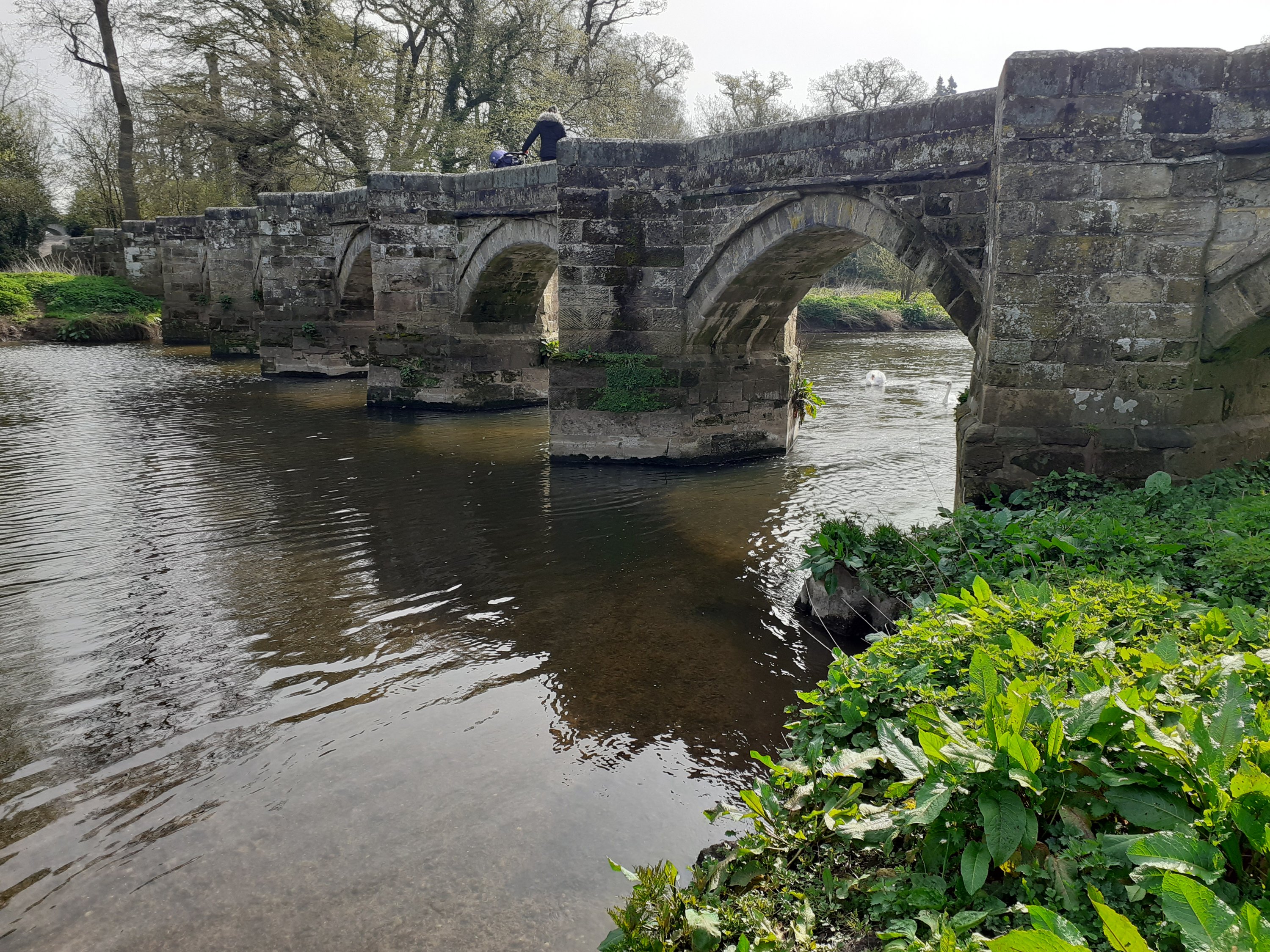
Stafford’s river is the Sow. It flows from the north west of the County through Eccleshall and into Doxey Marshes. Then it heads through the town centre and east. Between Tixall Road and the Staffordshire and Worcestershire canal it joins another river, the Penk, which rises to the south.
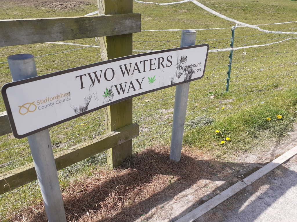
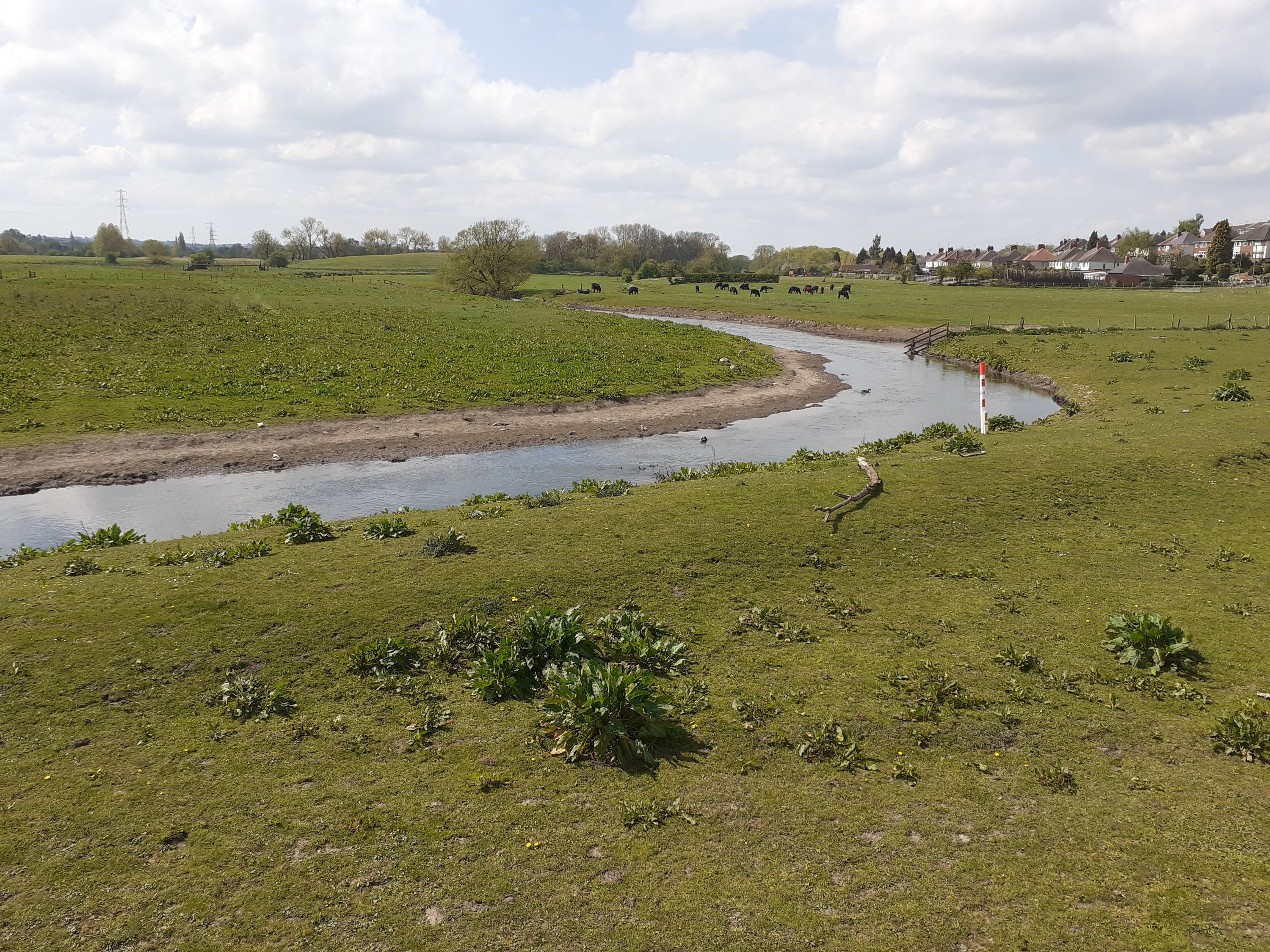
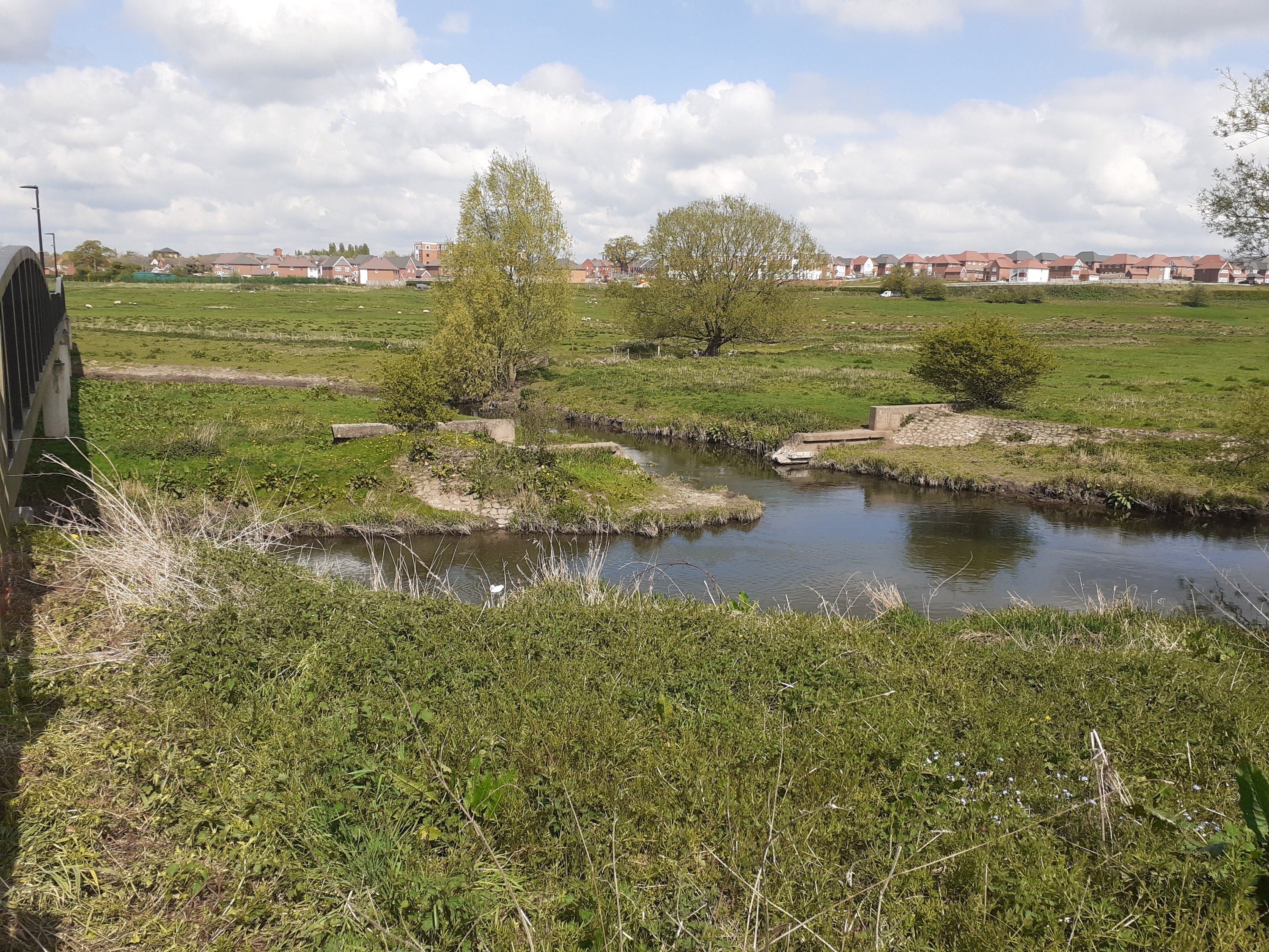
A few years back Government and the local authority built a walkway across these meadows. It’s a beautiful walk through river meadows full of horses and sheep. Just before Baswich Lane the rivers meet beneath the walkway. A swan was nesting and fish could be seen in the sandy basin.


Perhaps this point was sacred to the ancients. Certainly both were important rivers to the Celts and Saxons. Stafford was derived from ford by a staith, or landing place. The Penk gave its name to the town of Penkridge and a Mercian tribe the Pencersaete.

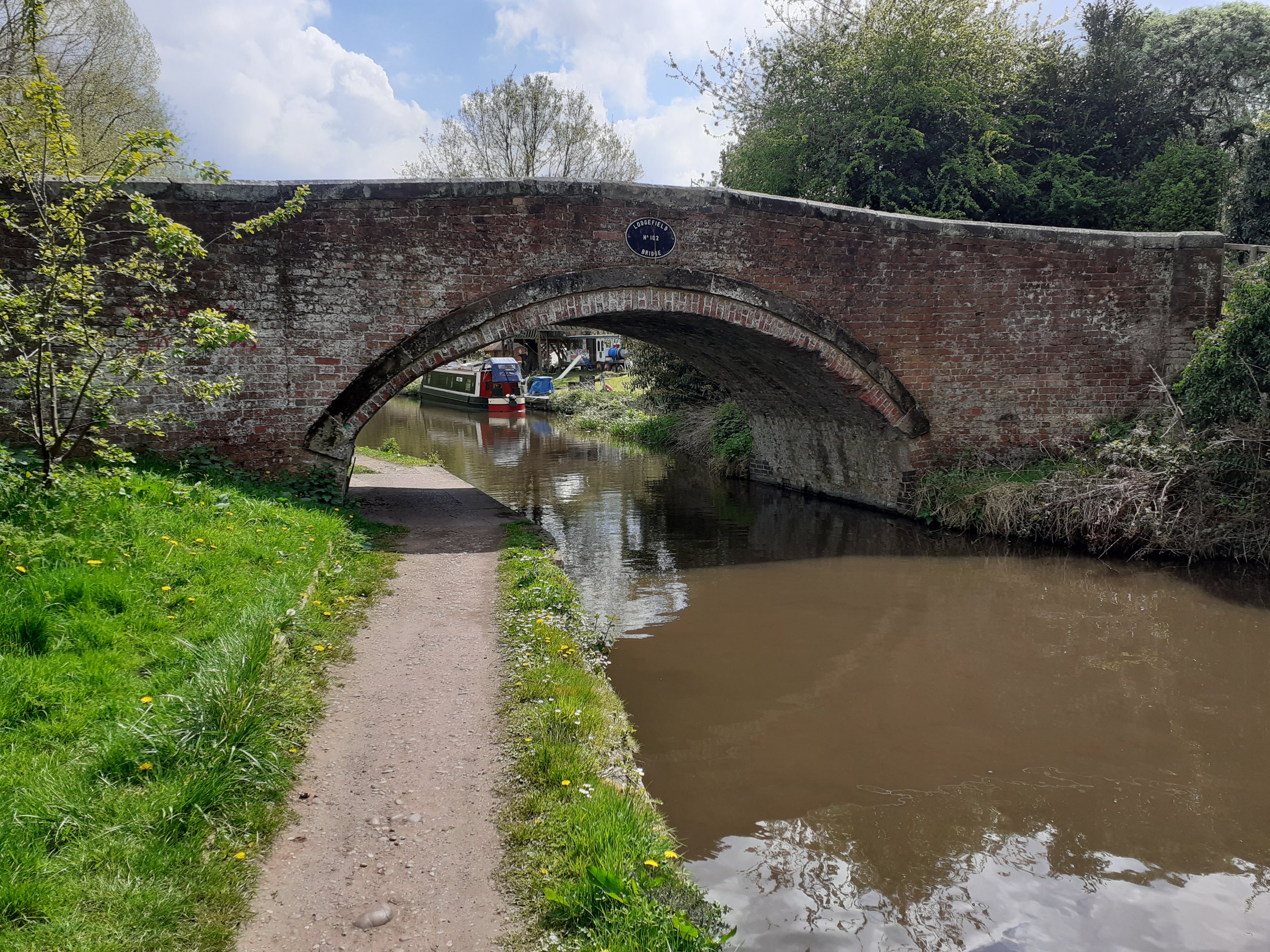
After following the walkway we crossed onto the towpath of the Staffordshire and Worcestershire canal and headed towards Shugborough and Cannock Chase.
It’s possible to loop back for a shorter walk through Baswich, cutting through sandy, gorsey banks and rabbit scrapes high above the canal, rivers and trains hurtling to and from Euston on the west coast mainline. Or you can stay on the towpath getting off at Milford Common for a pint at the Barley Mow or a cheeseburger at the Wimpy (Stafford still has one and it’s popular). And head back along the canal or bridleway. Or stay on until Essex Bridge (written about elsewhere on this blog) and paddle where Sow (and Penk) join that great river, the Trent.