This is the Greenway, the former Stafford to Wellington (Shropshire) railway line. It runs west from near Stafford town centre.
Sadly it seems that the ongoing Burleyfields development is going to encroach here. It is hard to get up to date local authority plans as the last one seems to be from 2015. I’ve already commented on concerns about drainage and flooding. Although attenuation or balancing lakes are being added the water runs off the gentle slopes here at pace. The developers are addressing this by cutting channels in the mud and adding straw bales at intervals in an attempt to reduce the runoff of sludge and sediment. When they leave the problem will remain especially as they’re artificially raising levels so new builds are just out of the flood plain.

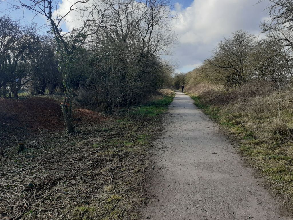
Unless plans have changed a new road will cross this Greenway which is a shame considering this is a bridlepath and walking and cycling route. The above pic shows the view north where the Burleyfields development will connect with many more houses behind Doxey Church. Hedges have been cut back in readiness.

Instead of cutting this popular route with a road access should be from the Doxey Road instead. I think this is a mistake by planners adding to other problems.
The plans are here but already differ from what has been built. https://www.staffordbc.gov.uk/sites/default/files/cme/DocMan1/Planning%20Policy/Plan%20for%20Stafford%20Borough/Burleyfields-Masterplan.pdf
There are other designs but they’re clearly labelled as sketches for reference only.
A school is planned which would be good news but it’s difficult to see exactly where.